Chefchaouen - map
The bus from Tetouan was two hours and drove me south
through the Rif Mountains through some spectacular scenery to the small
mountain city of Chefchaoen. The location of the bus stop wasn’t on my tourist
map, so I just set off in the direction of the center of the city. I didn’t
know it, but this was a serious hike up some steep streets and probably about
two miles in distance. My map only covered the medina, and it took me quite a
while to find any landmark that was on my map. Once passing through the medina wall
and finding myself in a crowded marketplace, I finally discovered one of the
hotels which were on my map. I got a single room with a shared bath for only 60
DH ($8 USD).
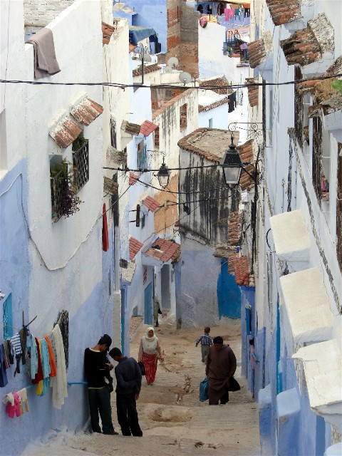
I walked to the main square of the medina and found a
nice outdoor restaurant. I started to get my orientation of how the small city
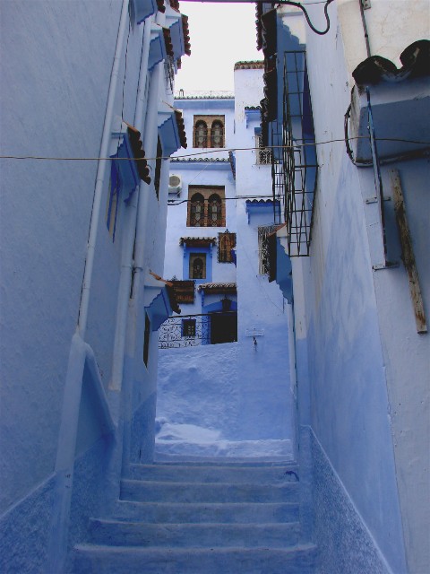
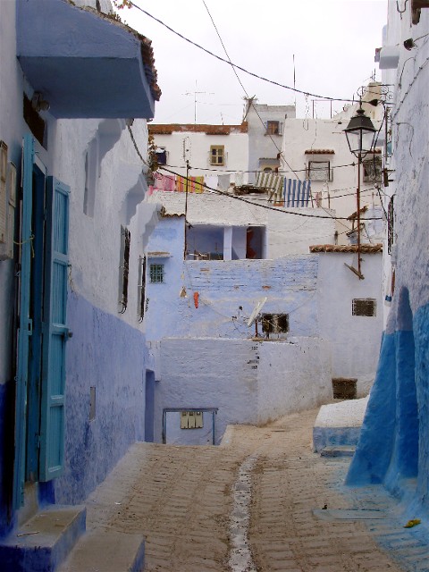
was laid out. Chefchaoen is famous for its white-washed walls with blue trim. The
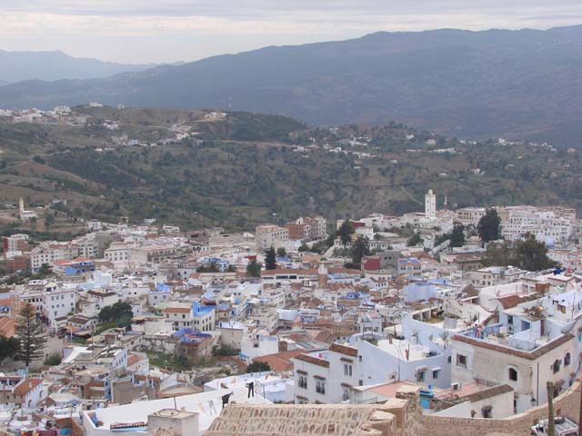
next day I set out from the main square and reached the highest point of the
medina. From there, there were great views of the city below.
It was a six hour bus ride to from Chefchaouen to the largest city in Morocco -- Casablanca.
Marrakech
Essaquira
Meknes
Fes
Asilah
Tetouan
Chefchaouen
Casablanca
MY TRAVEL HOMEPAGE